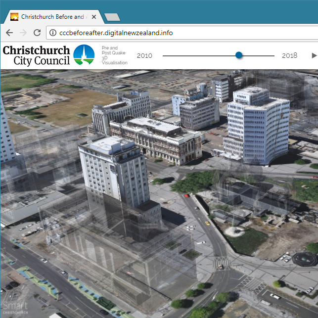
After the devastating earthquakes in 2010 and 2011, Christchurch’s central city (CBD) has became almost unrecognisable. Many iconic buildings and familiar landmarks were lost, and as a city, we began the huge task of re-building.
The pre-quake 3D model, captured in February 2010, will serve as a reminder of the central city, a historical record, and an educational tool. But this project is not just about looking back. Having a detailed, accurate, and current three-dimensional model, captured in January 2018, enables us to see how the city’s development has evolved over this time.
How the visualisation was created
This visualisation is an example of how 3D models are being used in many applications today. It was created by Auckland-based company NextSpace, who have pushed the boundaries of the open source Cesium platform to produce the building transition effects.
Technical requirements
Due to the quality and complexity of the 3D data, the visualiser is not currently supported on mobile devices, or screen resolutions less than 1024 pixels wide or 700 pixels tall. We recommend that you use a fast broadband internet connection instead of the cellular data network, as it may use significant data.
3D interactive visualiser of Christchurch CBD before and after earthquakes
If you cannot access the 3D data, the video below shows the 3D visualiser in action.


